Feb.12th Ice Storm

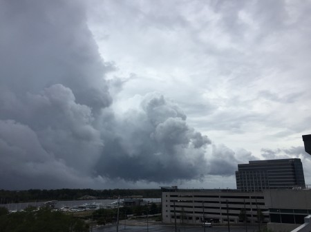
After our recent ice storm we say.  “Come on Spring ! “

IMG 3073 e1550159309271 450x401 Feb.12th  Ice Storm

Hurricane Florence comes ashore (live video 8/14/2018)

IMG 1986 450x337  Hurricane Florence comes ashore (live video 8/14/2018)

Hurricane Florence (live video from 8/14/2108)

IMG 1986 450x337 Hurricane Florence (live video from 8/14/2108)

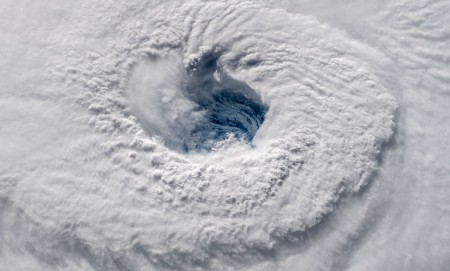
Hurricane Florence-from the International Space Station

105446642 1536767395917churning.1910x1000 e1536787863441 450x271 Hurricane Florence from the  International Space Station

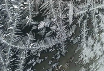
Jack Frost nipping


jFrost5 e1514917160476 350x240 Jack Frost nipping    (copyright  S. + G. Windsor )

As you may have noticed, the Northeastern US is experiencing a frigid Arctic blast this first week of  January 2017.  In Damascus Maryland,  it’s bringing record low single digit temperatures and a long streak of  consecutive days without surpassing freezing.

It’s bone chilling,  but it does make for some nice Jack Frost.

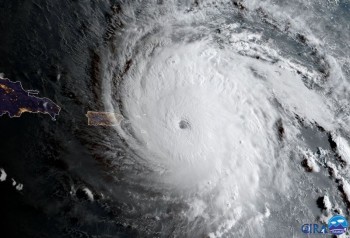
Hurricane Irma Satellite images

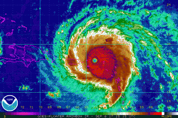
According to the National Hurricane Center, Hurricane Irma, was the strongest and longest lasting Atlantic basin hurricane ever recorded. Also the storm had maximum sustained winds of 185 mph (295 kph) which was a Category 5.

Below are some Satellite images in the Atlantic.
999x 999 350x233 Hurricane Irma Satellite  images


Infrared  Satellite  image,   courtesy NOAA / GOES


800x 1 350x238 Hurricane Irma Satellite  images


Visible Satellite image ,  courtesy CIRA / RAMMB


Three stormchasers recently lost their lives in Texas. Please pray for their families

Kelley Gene Williamson ,  Randall Delane Yarnall ,  Corbin Lee Jaeger

IMG 20160903 193959159 HDR 300x168  Three stormchasers  recently lost their lives in Texas. Please pray for their families

Laurel,Md. Tornado

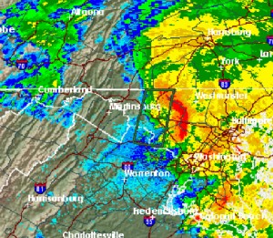
Below is a radar image of the storm that came through on Sept. 29th,2015
producing intense rainfall and a brief tornado. It took the shape of a bow echo
 radar signature. The report:

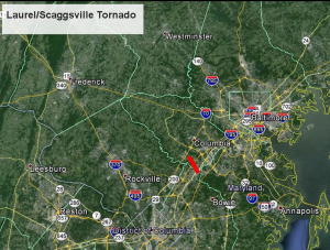
THE NATIONAL WEATHER SERVICE IN BALTIMORE MD/WASHINGTON DC HAS
 CONFIRMED A TORNADO NEAR LAUREL AND SCAGGSVILLE IN PRINCE GEORGES
 AND HOWARD COUNTIES MARYLAND ON TUESDAY EVENING  SEPTEMBER 29 2015.
BowieTorn2 300x261 Laurel,Md. Tornado 

      Screen Shot 2015 10 08 at 8.55.55 AM 300x227 Laurel,Md. Tornado   


(images NWS ) 

Historic extreme tornados in “Dixie Alley ”

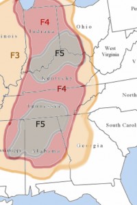
I was looking at some data regarding  historic tornado activity east of the Mississippi.    This  years  severe weather  has been active in Texas , Oklahoma and  Kansas .   I made this simplified graphic  to show the locations of the most extreme  (F3, F4,F5  ) tornados  in  ”Dixie Alley ” for the last 50 years .

usamap5f543edit 200x300 Historic extreme tornados  in Dixie Alley


Sources:   National Weather service ,    TornadoHistoryProject.com
Winters Grip

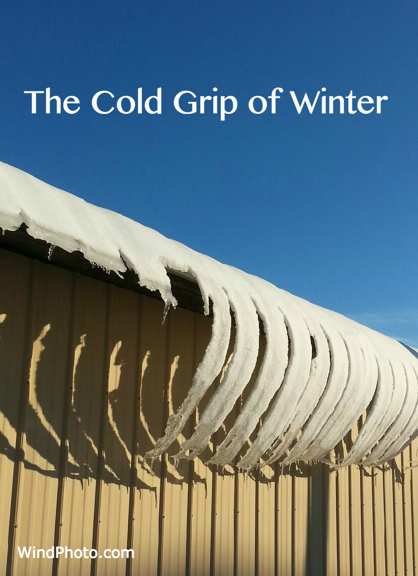
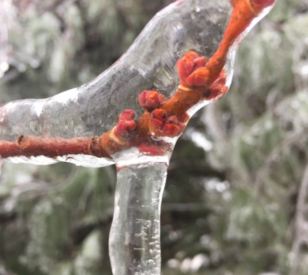
February 2015  turned out to be the  coldest in the Maryland /D.C. area  since  1979.  Records were also set in much of the Northeast .  In this photo, warming roof  ice slowly bends as it hits the frigid  arctic air.

Wintersgrip3 Winters Grip