Uncategorized
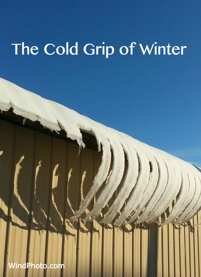
Jack Frost nipping
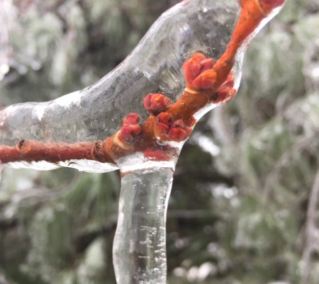
As you may have noticed, the Northeastern US is experiencing a frigid Arctic blast this first week of January 2017. In Damascus Maryland, it’s bringing record low single digit temperatures and a long streak of consecutive days without surpassing freezing.
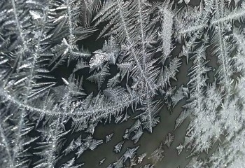
It’s bone chilling, but it does make for some nice Jack Frost.
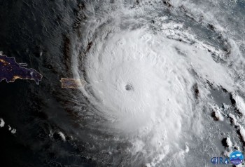
Hurricane Irma Satellite images
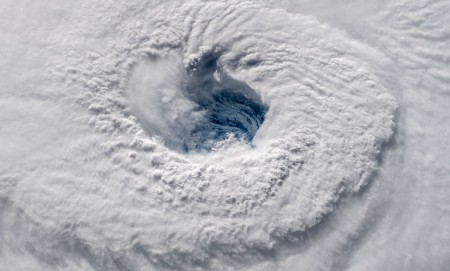
According to the National Hurricane Center, Hurricane Irma, was the strongest and longest lasting Atlantic basin hurricane ever recorded. Also the storm had maximum sustained winds of 185 mph (295 kph) which was a Category 5.
Below are some Satellite images in the Atlantic.
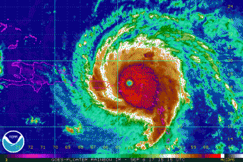
Infrared Satellite image, courtesy NOAA / GOES
Visible Satellite image , courtesy CIRA / RAMMB
Laurel,Md. Tornado
Below is a radar image of the storm that came through on Sept. 29th,2015
producing intense rainfall and a brief tornado. It took the shape of a bow echo
 radar signature. The report:

THE NATIONAL WEATHER SERVICE IN BALTIMORE MD/WASHINGTON DC HAS
 CONFIRMED A TORNADO NEAR LAUREL AND SCAGGSVILLE IN PRINCE GEORGES
 AND HOWARD COUNTIES MARYLAND ON TUESDAY EVENING  SEPTEMBER 29 2015.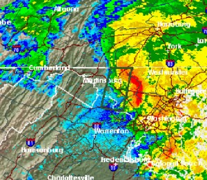
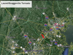
(images NWS )
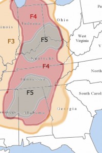
Historic extreme tornados in “Dixie Alley ”
I was looking at some data regarding historic tornado activity east of the Mississippi. This years severe weather has been active in Texas , Oklahoma and Kansas . I made this simplified graphic to show the locations of the most extreme (F3, F4,F5 ) tornados in ”Dixie Alley ” for the last 50 years .
Sources: National Weather service , TornadoHistoryProject.com
Storm chasers also asking “How’d it happen?” to Samaras team
( From an article in the Fort Worth Star-Telegram) by G.Thomas Windsor
I stared at pictures of a storm chase vehicle twisted by the El Reno, Okla., tornado that took the lives of Tim Samaras, his son Paul Samaras and Carl Young.
Though I didn’t know them, it struck a nerve. “If it could happen to one of the best of them, then …,” is a thought we who chase are surely pondering.
There will be debates, calls for the regulation of chasing and rethinking of the practice itself.
The challenge is the very wide spectrum of people who are chasing. Most are making an important contribution and aren’t reckless thrill-seekers. Tim Samaras and the others with him dedicated their lives pursuing answers, and they played a valuable role in gathering data to warn the public.
There’s now the familiar “why did it happen?” questions being asked.
Tim’s lifelong quest was to “better understand some of the final mechanisms for tornado genesis.” It’s the “how does it all come together?” question.
There’s also the “how does it all come together?” question involving such tragic fatalities.
• There can be rush-hour and chaser traffic jams (I’ve been in those): too many chasers in a small area with fleeing public.
• Though law enforcement officers work hard saving people’s lives, it’s been reported that one officer was blocking a possible exit road when disaster struck.
• Like an expanding storm, there is also an appetite for ever more dynamic footage. The chaser and the media are subtly taking greater risks and have grown accustomed to the new norm, of the incredibly dangerous.
A severe weather event is chaotic, unpredictable by nature. It is a coming together of many different things in the atmosphere. The tornado at El Reno took a sharp left turn; statistically, many don’t. It just so happened to rapidly grow into the widest tornado ever recorded.
